Wicklow, Leinster, Ireland
Wexford, Leinster, Ireland
Louth, Leinster, Ireland
Longford, Leinster, Ireland
Kilkenny, Leinster, Ireland
Kildare, Leinster, Ireland
Dublin, Leinster, Ireland
Carlow, Leinster, Ireland
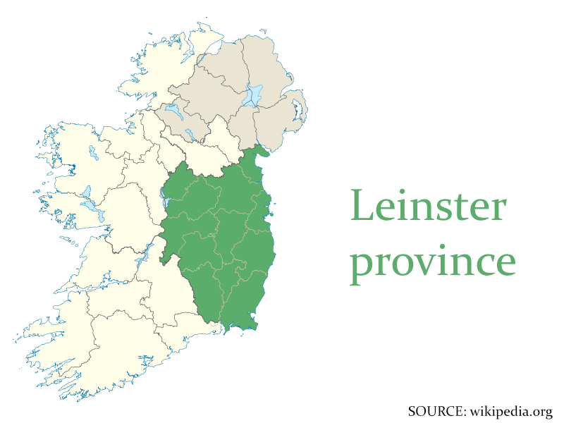
Leinster is one of the four traditional provinces of Ireland, situated on the east of the island. It has a surface area of 19,800 km2 and a population of around 2,6 million, making it the most populous. The province lies entirely in the Republic of Ireland, and comprises of the ancient kingdoms of Meath, Leinster and Osraige. The province is subdivided into 12 counties. The largest city in the province is Dublin, also the capital of Ireland. The flag of the province features a golden harp on a green background. The most spoken language is English, with an Irish-speaking minority.
Leinster is a province with many tourist attractions, ranging from distillery tours and museums in the cities, to beautiful scenery near the coast. Brú na Bóinne, an important prehistoric landscape with passage graves that is now a UNESCO World Heritage site, is located in the country of Meath, found in the north of the province.